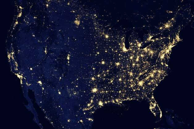
Kind of looks like the U.S. electoral by county map of red and blue:


The Las Vegas Badger is about politics, humor, sports, reality shows in Las Vegas, especially Pawn Stars and anything else interesting. While I live in Las Vegas, my heart is still in Wisconsin. Thanks for visiting the blog and feel free to browse the web site.


No comments:
Post a Comment